
Silva 3NL-360 Manual
Manual en PDF · 3 Páginas
Español



Verificación rápida
Respuesta incorrecta, inténtalo de nuevo.
Chatee con su manual de Silva 3NL-360 usando IA
Obtenga respuestas instantáneas de IA de su manual de Silva 3NL-360
Pregunte lo que quiera sobre Silva 3NL-360. Las respuestas provienen de este manual, con las páginas en las que se basan.
Haz una Pregunta
¿Recomiendas 3NL-360?
Sí NoPreguntas frecuentes
Se usa mejor para navegación basada en mapas, rumbos rápidos, planificación de rutas y viajes al aire libre, donde una brújula de base fiable es más útil que una simple herramienta direccional.
¿Esta respuesta fue útil?
Coloca la brújula sobre el mapa, gira la carcasa para alinear el norte y luego gira tu cuerpo hasta que la aguja quede dentro de la flecha de orientación. Después, la flecha de dirección de marcha apuntará hacia tu destino.
¿Esta respuesta fue útil?
La declinación es la diferencia entre el norte verdadero y el norte magnético. Corregirla te ayuda a seguir un rumbo más preciso en lugar de desviarte de la ruta.
¿Esta respuesta fue útil?
Algunas versiones están equilibradas para zonas magnéticas específicas, mientras que otras usan una aguja global. Debes revisar los detalles del modelo antes de usarlo en otra región.
¿Esta respuesta fue útil?
Según la versión, puede incluir un clinómetro, una lente de aumento, orificios de plantilla, escalas para mapas, marcas luminosas y pies de fricción para una mayor precisión.
¿Esta respuesta fue útil?
Mantenla lejos de imanes potentes, teléfonos, altavoces y temperaturas extremas. Evita que se caiga, guárdala de forma segura y comprueba que funcione correctamente antes de salir.
¿Esta respuesta fue útil?
Ventajas y Desventajas
Ventajas

- Sistema de navegación 1-2-3 fácil de aprender para una lectura rápida del mapa.
- Diseño de base transparente con escalas útiles y marcas de dirección.
- La cápsula llena de líquido ayuda a que la aguja se estabilice rápida y precisamente.
- Las opciones de corrección de declinación permiten rumbos más precisos.
- Extras útiles como lupa, clinómetro y marcas luminosas añaden versatilidad.
Desventajas

- Algunas funciones varían según el modelo, así que no todas las brújulas tienen las mismas herramientas.
- Los modelos equilibrados por zona pueden no rendir bien fuera de su zona magnética prevista.
- Configurar la declinación puede requerir práctica para los principiantes.
- Las marcas luminosas necesitan exposición a la luz antes de brillar en la oscuridad.
Producto Especificación
Tipo
Brujula
Colores
transparente
Dimensiones
11,5x6x1cm
Peso
36g
Producto Descripción
Brújula Silva 3NL-360: Una herramienta fiable para la aventura basada en mapas
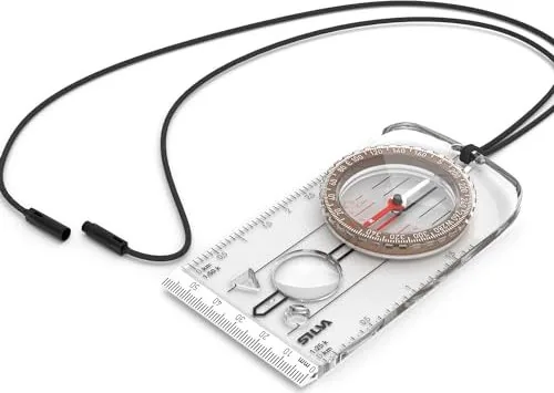
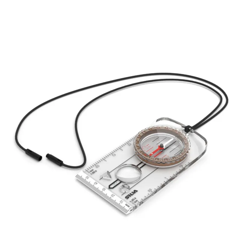
La brújula Silva 3NL-360 está diseñada para senderistas, viajeros, exploradores y aficionados al aire libre que quieren una forma sencilla de convertir un mapa en papel en una ruta segura. Con su base transparente, bisel giratorio y cápsula llena de líquido, permite tomar rumbos rápidos sin añadir complejidad innecesaria. Si valoras una navegación fiable y un diseño clásico listo para el terreno, esta brújula encaja de forma natural en una mochila o un kit de mapas.
Por qué destaca
La brújula sigue el conocido sistema de navegación 1-2-3 de Silva, que hace que trabajar con mapas resulte accesible. Primero, coloca la brújula sobre el mapa y alinea el borde con tu destino. Después, gira la carcasa hasta que las líneas de norte coincidan con los meridianos del mapa. Por último, mantén la brújula nivelada y gira hasta que la aguja se asiente dentro de la flecha de orientación. Este método te ayuda a pasar del mapa al terreno con menos dudas.
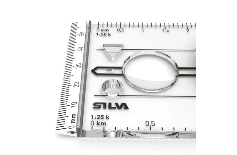
Su anillo de graduación de 360 grados facilita la lectura de rumbos, mientras que la línea índice fija, la flecha de dirección de marcha y las líneas de orientación crean una ruta visual clara. Muchas versiones también incluyen extras prácticos como un clinómetro para leer pendientes, escalas para medir mapas, una lente de aumento, orificios de plantilla para marcar rutas y marcas luminosas para uso con poca luz. Estos detalles hacen que la brújula sea útil no solo para orientarse, sino también para una planificación y un análisis de ruta más cuidadosos.
Diseñada para el uso real en exteriores
La brújula Silva 3NL-360 está pensada para sentirse estable y responder bien en la mano. La cápsula llena de líquido ayuda a que la aguja se estabilice rápidamente, y la resistente base ofrece una visión clara del mapa debajo. Los pies de fricción de goma pueden mejorar la precisión durante el trabajo con mapas, especialmente cuando mides, dibujas o compruebas coordenadas. El diseño general es práctico antes que llamativo, que es exactamente lo que prefieren muchos orientadores.
Una de las fortalezas más importantes de esta brújula es su atención a la declinación magnética. Como el norte verdadero y el norte magnético no siempre coinciden, la brújula ofrece opciones de corrección que te ayudan a fijar un rumbo más preciso. Eso marca una diferencia real cuando navegas en zonas con declinación significativa o trabajas con mapas topográficos. Algunos modelos están equilibrados para zonas magnéticas específicas, mientras que otros usan una aguja global para un uso más amplio en todo el mundo.
Para quien busca una herramienta de navegación duradera y centrada en mapas, la brújula Silva 3NL-360 combina claridad, precisión y detalles bien pensados en un formato compacto. Es una buena compañera para la navegación diaria, la planificación en zonas remotas y el aprendizaje de cómo leer el terreno con confianza.
Notas
- Comprueba la declinación antes de cada salida.
- Mantén la brújula alejada de imanes y dispositivos electrónicos.
- Usa un mapa actualizado para obtener los mejores resultados.
- Guárdala con cuidado para proteger su precisión a largo plazo.
Buscar: 67.706 Manuales en línea


Escribe la marca o modelo